Why the Desert Southwest Rewards a Road Trip Approach
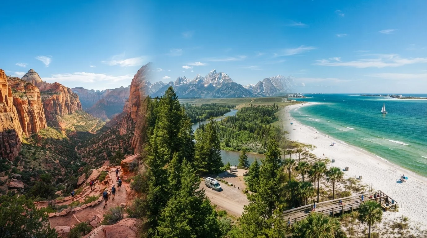
No other region in the continental United States concentrates so much geological drama within a single driveable circuit. The Desert Southwest - spanning Arizona, Utah, and Nevada - holds five national parks, dozens of national monuments, and millions of acres of public land, all connected by some of the most visually arresting highway corridors on the continent. A road trip is not merely convenient here; it is genuinely the best way to experience the scale and sequence of the landscape.
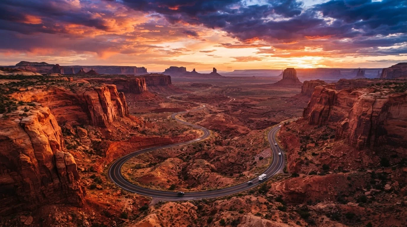
Distances between major sights are real - three to five hours of driving is common between consecutive stops - but those drives are rarely dull. Highway 89 north of Page, Arizona, US-191 through the San Rafael Swell, and Nevada's Valley of Fire State Park road are destinations in their own right. The journey is embedded in the destination.
What you will need
Before diving into route logistics, it helps to understand what makes this particular circuit both exciting and demanding. Altitude shifts of several thousand feet occur within a single day's drive. Cell service vanishes for extended stretches. Heat, flash flood risk, and permit complexity all require deliberate preparation rather than improvisation. The steps below walk through each planning layer in order.
Tools, Passes, and Resources to Gather First
National Park Service Website (nps.gov)
Check current permit requirements, reservation windows, road conditions, and entrance fees for each park.
Offline Maps App (e.g., downloaded maps for your region)
Cell service is unreliable across large stretches of Utah and northern Arizona - offline maps prevent navigation failures in remote areas.
Portable Water Containers
Store adequate drinking water for desert driving legs where services are sparse.
Roadside Emergency Kit
Flat tire repair, jumper cables, and basic tools are essential on remote desert highways far from assistance.
America the Beautiful Annual Pass
Covers entrance fees at national parks and federal recreation areas across the entire itinerary.
The America the Beautiful Pass Saves Money
If your itinerary includes three or more national parks or federal recreation areas, the America the Beautiful Annual Pass (available at park entrances and online through the National Park Service) covers entrance fees for a full year. It is one of the most straightforward ways to reduce per-site costs on a multi-park Southwest trip.
Beyond the practical gear, mental preparation matters too. The Desert Southwest has a way of humbling visitors who arrive with overpacked itineraries and rigid expectations. Parks like Zion and Bryce Canyon are genuinely world-class - but so are lesser-visited spots like Kodachrome Basin State Park, Goblin Valley, and the North Rim of the Grand Canyon. Leaving room for discovery is part of sound planning, not a concession to indecision.
Step-by-Step Route Planning
Choose Your Anchor Cities and Entry Point
Most Desert Southwest loops begin and end in either Las Vegas, Nevada or Phoenix, Arizona - both have major airports and established car rental infrastructure. Las Vegas works well as a northern entry, placing Zion and Bryce Canyon early in the trip while energy is fresh. Phoenix suits a southern start, letting you tackle Sedona and the Grand Canyon South Rim before heading north into Utah.
Whichever city you choose, plan a one-way rental if you want to drive a true linear route rather than a loop - this avoids retracing roads and maximizes variety.
Map a Logical Stop Sequence
A well-sequenced route minimizes unnecessary backtracking. A proven clockwise loop from Las Vegas runs: Zion National Park → Bryce Canyon National Park → Capitol Reef or Escalante → Monument Valley → Grand Canyon South Rim → Sedona → back to Phoenix or Las Vegas. This order follows natural geography and keeps driving legs manageable - typically three to five hours between major stops.
If starting from Phoenix, simply reverse the sequence. For detailed itinerary-building strategies, Travel Itinerary Planning: A Complete Walkthrough walks through how to balance must-see highlights with genuine downtime.
Choose Your Travel Season Wisely
March through May and September through November are widely regarded as the most comfortable seasons for Desert Southwest travel. Temperatures are moderate at most elevations, wildflowers can be spectacular in spring, and fall light is exceptional for photography.
Summer (June-August) brings extreme heat at lower elevations but can be workable at higher-elevation parks like Bryce Canyon (roughly 8,000 feet). Winter brings snow to Utah's parks, which creates stunning scenery but may close certain roads and trails - always check current conditions before arriving. Verify conditions before you go using official park and weather sources.
Secure Permits and Reservations Early
Popularity has outpaced capacity at many Southwest parks. Lodges inside Grand Canyon and Zion book out months in advance. Timed-entry reservations for Arches National Park and permits for Angels Landing (Zion) and the Wave (Coyote Buttes North) require advance planning through the official recreation.gov or lottery systems.
Build your permit and reservation calendar as soon as your travel dates are confirmed - do not wait until the trip approaches. Be aware of common planning pitfalls by reading Assumptions That Lead Travelers Astray in the American Southwest.
Prepare Your Vehicle for Desert Conditions
Desert driving is hard on vehicles. Before departure, confirm your tire pressure and tread depth, check coolant levels, inspect your spare tire, and ensure your air conditioning system is functioning. Carry extra water in the vehicle - not just for drinking but in case of an overheating engine on a remote stretch.
Gas stations are sparse between parks in southern Utah and northern Arizona. Fill your tank whenever you drop below half in these areas; do not assume the next town will have services. Long highway stretches also demand sustained alertness - Long-Distance Road Trips: Staying Alert Across Extended Journeys offers practical guidance on managing fatigue behind the wheel.
Build in Flexibility for the Unexpected
Flash floods, sudden road closures, high winds at canyon rims, and unexpected permit lottery losses are all real possibilities. Build at least one buffer day into your itinerary - a day without fixed commitments that can absorb delays or, better yet, let you linger somewhere unexpectedly wonderful.
Rigid schedules are the most common source of frustration on Southwest road trips. The region rewards slow travelers who let the landscape set the pace. For broader planning principles that support a resilient itinerary, explore the Trip Planning hub.
Verify Permit Requirements Before You Go
Zion National Park's Angels Landing trail, the wave at Coyote Buttes, and several Antelope Canyon tours require advance permits or reservations that sell out weeks or months ahead. Check each site's official National Park Service or land management page for current requirements - do not rely on third-party sources for this information, as rules change seasonally.
Desert Heat Is a Genuine Safety Risk
Summer temperatures in the Desert Southwest regularly exceed 110°F in low-elevation areas like the Grand Canyon's inner gorge and Las Vegas Valley. Dehydration and heat illness can develop faster than most visitors expect. Carry at least one gallon of water per person per day, avoid strenuous hikes between 10 a.m. and 4 p.m. in peak summer, and always tell someone your itinerary before heading into backcountry areas.
This article provides general travel planning information for educational purposes. Road conditions, permit requirements, park entry rules, and safety advisories change frequently. Always verify current details through official National Park Service sources, state transportation departments, and government travel advisories before your trip.