The Five-State Geography at a Glance
The U.S. portion of the Great Lakes region spans five states - Michigan, Wisconsin, Minnesota, Indiana, and Ohio - each touching at least one of the five lakes: Superior, Michigan, Huron, Erie, and Ontario. Together, the lakes form the largest surface freshwater system on Earth, shared with the Canadian provinces of Ontario and Quebec.
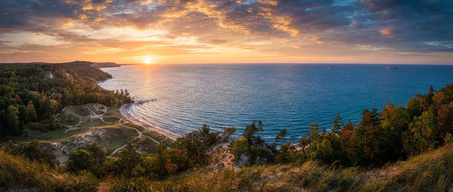
Terrain varies enormously. Michigan's Upper Peninsula is rugged and heavily forested, punctuated by waterfalls and the dramatic Pictured Rocks National Lakeshore. Wisconsin's Door County peninsula juts into Lake Michigan with bluff-top orchards and lighthouse-dotted coves. Ohio's Lake Erie shore flattens into marshland that supports extraordinary migratory bird populations. Indiana's slice of Lake Michigan is narrow but includes the Indiana Dunes National Park, where wind-sculpted dunes rise improbably above the water's edge just an hour from downtown Chicago.
Travelers should expect genuinely variable weather: lake-effect snowfall can bury coastal towns well into spring, while summer temperatures along Lake Superior stay noticeably cooler than inland. Before your trip, verify current conditions for parks and roads - our regional travel checklist covers exactly what to confirm before exploring any unfamiliar U.S. region.
Cultural Layers: Industry, Immigration, and the Arts
The Great Lakes region's cultural identity is inseparable from its industrial past. Cities like Cleveland, Detroit, and Milwaukee grew explosively in the late 19th and early 20th centuries, drawing waves of immigrants from Poland, Germany, Scandinavia, Italy, and later from the American South during the Great Migration. That layering is still visible today in neighborhood architecture, local food traditions, and annual festivals.
21%
Share of Earth's surface freshwater held by the Great Lakes
According to the Great Lakes Environmental Research Laboratory, the basin represents a globally significant freshwater reserve.
4,500+
Miles of U.S. Great Lakes shoreline
NOAA estimates the U.S. shoreline alone exceeds 4,500 miles, offering vast opportunities for coastal exploration.
35 million
People living in the Great Lakes basin
The Great Lakes Commission estimates roughly 35 million people in the U.S. and Canada rely on the basin for drinking water.
Detroit's Motown legacy remains a defining cultural touchstone - the city's music history is richly documented at the Motown Museum (Hitsville U.S.A.), a genuine pilgrimage site for music lovers. Cleveland's Rock and Roll Hall of Fame offers a broader sweep of American popular music. Milwaukee's beer heritage (shaped largely by German immigrant brewers) is explored through neighborhood brewery tours and a dedicated museum on the city's north side.
Indigenous history runs deep across the region. The Ojibwe, Menominee, Potawatomi, and Ho-Chunk nations, among others, have called these shores home for thousands of years. Several tribal nations operate cultural centers and museums open to visitors - engaging thoughtfully with these resources adds meaningful context to any Great Lakes itinerary.
Lake-effect snow
A weather phenomenon where cold air masses move across the relatively warm lake surface, picking up moisture and depositing heavy, localized snowfall on downwind shorelines. It can produce several feet of snow in a short period, particularly along Lake Erie and Lake Michigan.
National Lakeshore
A designation by the National Park Service for protected stretches of Great Lakes coastline. Examples include Pictured Rocks National Lakeshore in Michigan and Sleeping Bear Dunes National Lakeshore in Michigan.
Great Migration
The large-scale movement of African Americans from the rural South to northern industrial cities - including Detroit, Cleveland, and Chicago - primarily between 1910 and 1970. It profoundly shaped the culture, music, and demographics of Great Lakes cities.
America the Beautiful Pass
An annual federal recreation pass sold by the U.S. government that provides access to national parks, monuments, and recreation areas. It can offer significant savings for travelers visiting multiple national park sites in one trip.
Practical Expectations for Travelers
Getting around the region typically requires a car. Distances between lakeside highlights are long, intercity rail options are limited, and many national lakeshores and state parks sit well outside urban transit reach. Budget extra travel time if you plan to connect multiple states - the drive from Cleveland, Ohio, to Duluth, Minnesota, for instance, spans roughly 800 miles.
Peak season runs from late June through August, when beaches, campgrounds, and ferry routes book up quickly. Shoulder seasons - May through early June and September through mid-October - offer thinner crowds, spectacular fall color (Great Lakes foliage is genuinely world-class), and often lower lodging costs. Winter travelers who embrace cold weather gain access to ice fishing, snowshoeing trails, and strikingly empty lakeshores - but lake-effect snow requires careful road-trip planning.
Entry to most national park sites requires a fee or an America the Beautiful annual pass. State parks have their own permit systems, which vary by state. Ferries to island destinations like Mackinac Island (Michigan) or the Apostle Islands (Wisconsin) operate seasonally - confirm schedules and reservation requirements well before arrival.
Food culture rewards the curious: fresh Lake Superior whitefish, Great Lakes perch fish fries (a Friday tradition in Wisconsin), Polish pierogi in Cleveland, and Detroit-style square pizza are regional staples worth seeking out. The agricultural heartland also means exceptional farmers markets from late spring through fall.